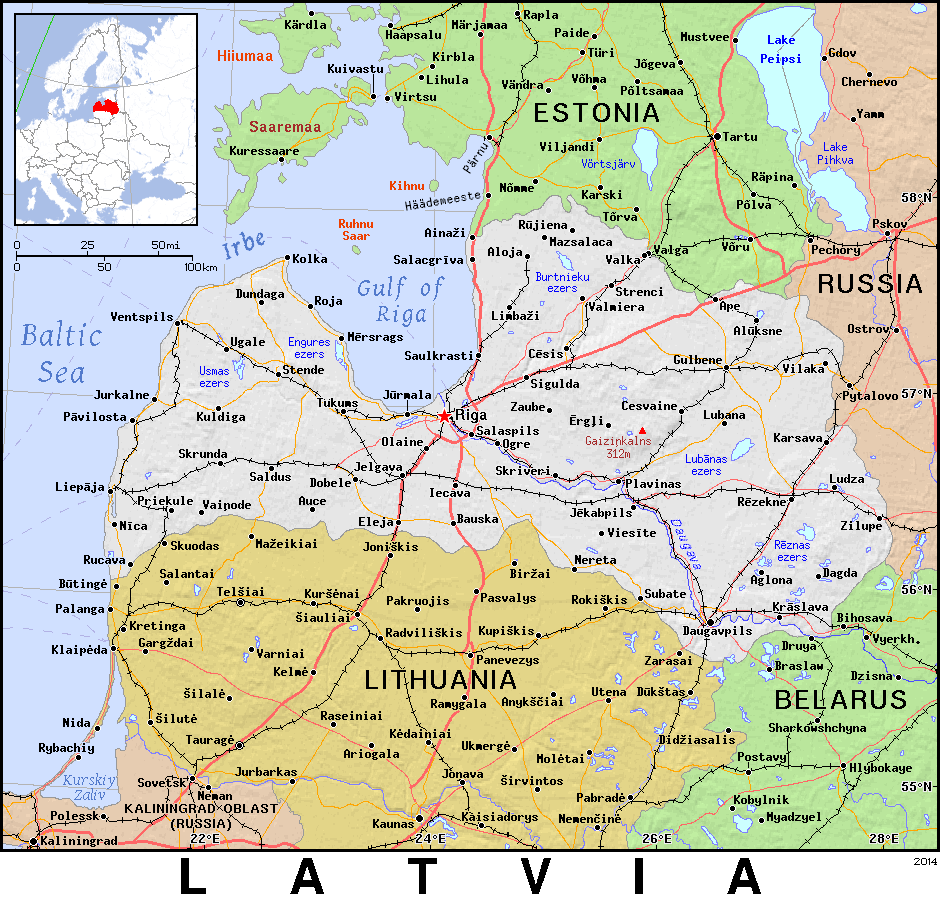
image from https://ian.macky.net/pat/map/lv/lv.html
In this map of modern Latvia you can see Riga (the capital and largest city) indicated by a red star. The historically significant city of Jelgava where Aspazija was educated and where her family moved to in the late 1890s is a little bit south-west of Riga.

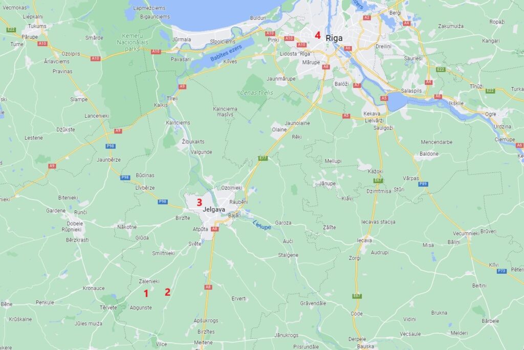
- Zalenieku village – where Azpazija was born and grew up. Location of the Zalenieku Lutheran Church
- Jekabnieku village – the small village in the Zalenieku district where Dāvis Rozenbergs was born and grew up.
- Jelgava – the nearest large city and administrative center in the area. This is where Dāvis Rozenbergs died in 1901.
- Riga – the capital of Latvia where Aspazija lived from 1920 until her death in 1943.

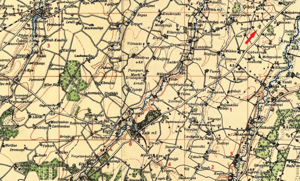
Image from https://vesture.dodies.lv/#m=10/56.91950/24.16786&l=O
This is a map from the interwar period (1920-1940) showing farms, towns, manor houses and natural landmarks. The red-arrow in the corner indicates the direction to Jelgava. This map can be found at this link along with many other historic ‘layover’ maps of Latvia: https://vesture.dodies.lv/#m=13/56.52925/23.58370&l=O/LA75
- Daukšu farm Zalenieku
- Reņču Jahna farm, Jekabnieku
- Baž Kauliņi farm, Zalenieku
- Stuļģi Polu farm, Jekabnieku
- Cūcēni farm, Jekabnieku
- Zalenieku town center

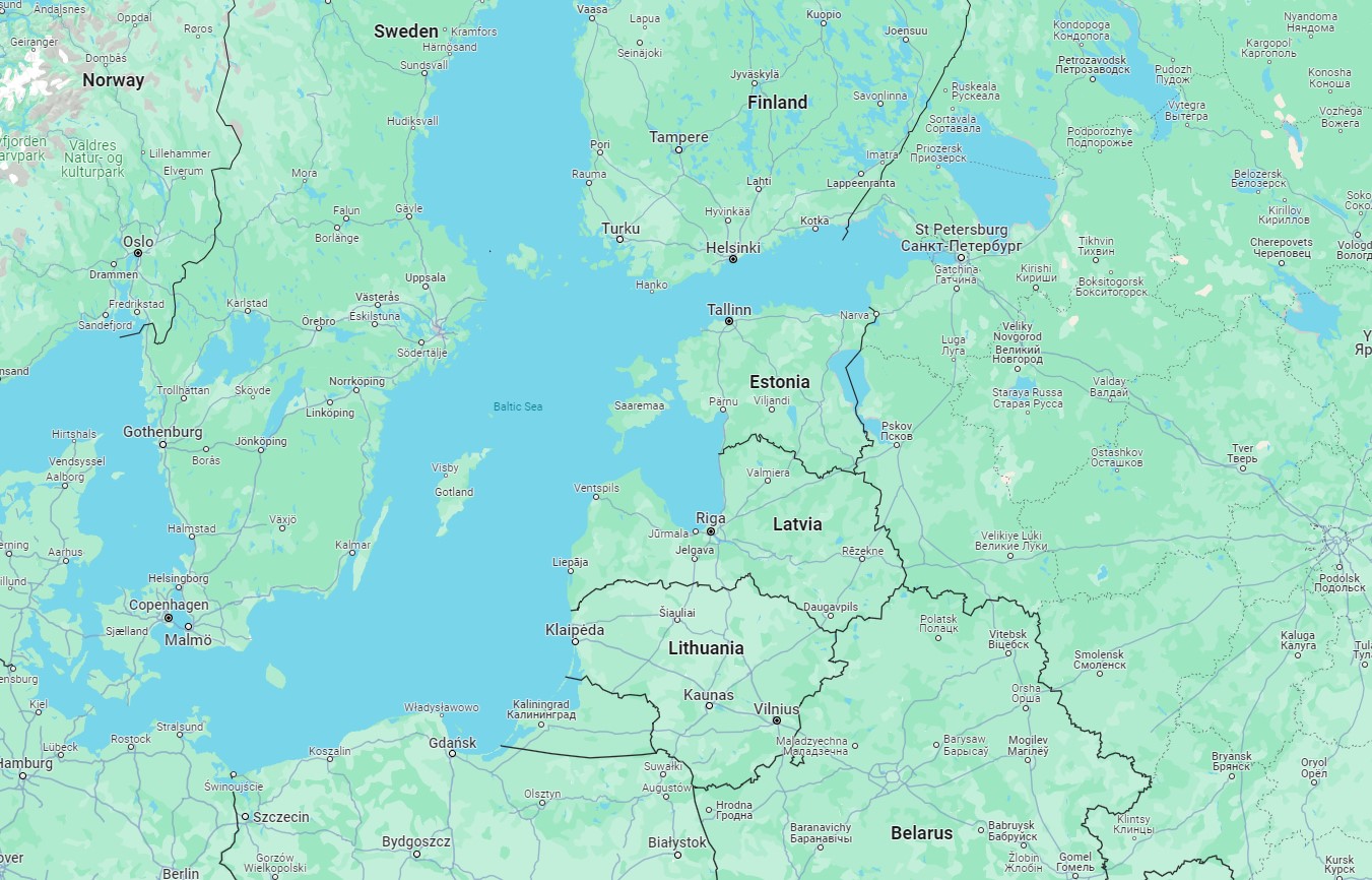
Having a map is always helpful.